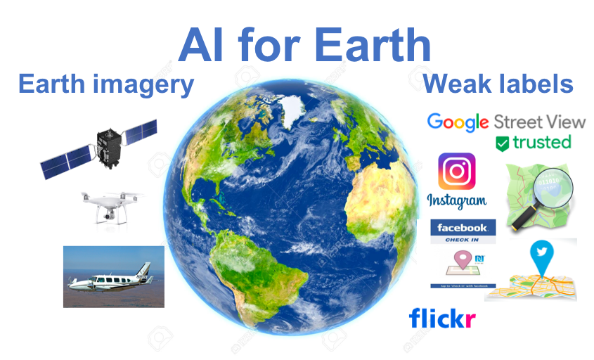
The rapid growth of geospatial and spatiotemporal data being collected from space, airborne, and terrestrial platforms provides scientists, farmers, and first responders critical information they need about the surface of the Earth. This emerging area that intersects machine learning, especially deep learning, with geographic information science is called GeoAI. GeoAI can potentially transform society by addressing grand challenges such as rapid disaster response, water resource management, and transportation. One major obstacle, however, is that deep learning heavily relies on a large number of training labels, which are often not easily available for geographic applications due to slow and expensive field surveys. Existing research on semi-supervised learning could not fully resolve the issues due to the complex nature of geographic data such as spatial heterogeneity.
Meanwhile, the prevalence of smartphones and mobile devices bring a new way of crowdsourcing geospatial data from many non-expert citizens. For instance, over half a billion explicit geographic features such as roads and buildings are created on OpenStreetMap every year (explicit VGI). Moreover, billions of geo-social media (e.g., Facebook or Twitter) users post text and images about their surroundings without an explicit mapping purpose (implicit VGI). Such explicit and implicit VGI data provide a large amount of weak semantic labels on what is where on the Earth's surface. The idea of using crowdsourced VGI can complement existing research on limited ground truth (e.g., semi-supervised learning, self-training) by overcoming spatial heterogeneity when transferring a pre-trained model to a new region. This project aims to conduct a systematic study on weakly supervised learning using VGI as weak training labels and addressing the data quality issues. To address the noisy, biased, and incomplete label class semantics, we explore leveraging physics-aware spatial structural constraints. To address vector label location errors in explicit VGI (e.g., GPS registration error, manual annotation mistaken on label segments), we investigate a joint learning framework to infer or refine true label shape locations while updating deep neural network parameters.